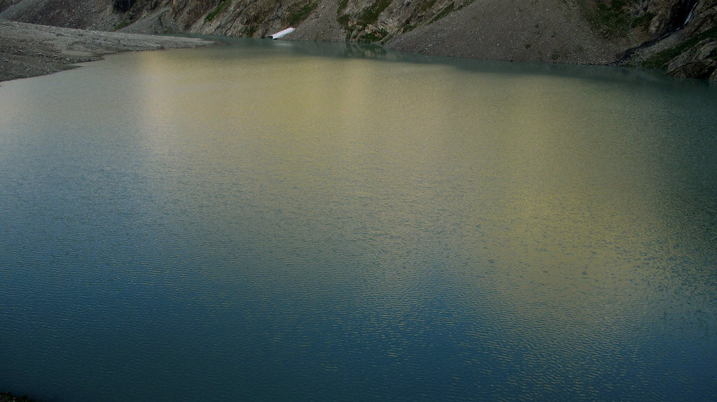
In 15 minutes, pass another little agricultural region with a few cottages at the base of cliffs, directly in the way of potential rock falls and avalanches. Spend an hour climbing rocky debris to reach a few birch trees dispersed on a rise (3240m). As the valley narrows and curves to the southwest, keep going uphill. Reach the first of two aqua Lakes, Tsak Chhat (3682m), after passing through the tang, a small canyon, which takes around one and a half to two hours from Buthijhal. The second lake, Lut Chhat (3765m), is reached after 1.25 kilometers of hiking up the stream’s true left (west) bank. Roghili Gree and Roghili An, two difficult passes, are located beyond the lake (see Jughor and Roghili An under Other Treks).
Jughor
Jughor hamlet is located at the Jughor Gol’s mouth, across the river from Chitral town and to the south. The day before you set off, schedule a trip to Jughor to plan any treks. Ahead of the valley head are four difficult passes: two go south to Shishi Gol; two go east, one to Koghozi Gol, and the other to Roghili Gol.
The trail to the real left bank crosses at Chhato Shal (3048m), a hut up the valley from Jughor. Travel 750 more meters to a trail intersection (3164 meters). One track ascends the Kapashung Gol in the south to the passes that lead to Shishi Gol, while the other ascends the Bungolbahan Gol in the east to the other two passes.
The path of the Kapashung Gol divides the valley. The path leading to Kalas in Shishi Gol crosses the Domukh An (4380m) here. To reach Kapashung Gree (4318m), which also goes into Shishi Gol, the route to the south follows Kapashung Gol’s true right bank for 3 kilometers along the highest branch.
There are two ways to ascend Bungolbahan Gol in the east, both of which remain on the true left bank. You can first travel three three-kilometer valley and cross the river at the trail intersection at 3161 meters. The tough Koghozi An (4480m), from which a steep drop into the Koghozi Valley leads to Koghozi village on the Chitral-Gilgit route, is reached after a very steep 500-meter ascent to the north. This is a Class 3 cross-country route that is challenging.
Second, you can climb half a kilometer more northeast along the genuine left bank of the Bungolbahan Gol to Roghili Gree (4638m). After that, there is a treacherous 850-meter scree drop into the upper Roghili Gol basin. Angarbah is the name of the basin according to the Chitral (I- 42 F) sheet, however, locals are unfamiliar with this name. 8 kilometers further, on the south bank of a creek, you’ll find Lut Chhat (3764 meters), a lake. You can descend Roghili Gol by crossing the stream that feeds the lake and contouring down its north bank from a trail junction 500 meters above the lake (see the Roghili Gol hike). You could also cross the Roghili An.
A Roghili
A trail crosses the Roghili An (4496m) on the way from Lut Chhat in the upper Roghili Gol (see the Roghili Gol trek) to Madaglasht in Shishi Gol. Continue traveling along Lut Chhat’s north and western coasts. 500 meters beyond the lake, cross the stream to the south side. The Roghili An and the more challenging Roghili Gree routes split off here (see Jughor, above). The challenging route turns southeast and travels across a precipitous ridge to Madaglasht in Shishi Gol on its way to Roghili An (4496m).